


 Aeronautical Cartography
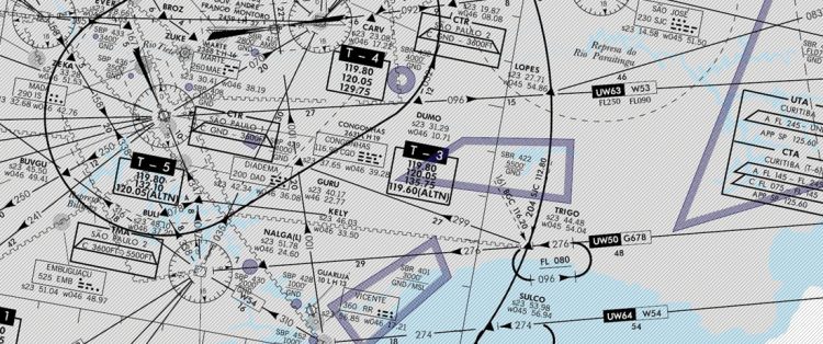
Aeronautical Cartography consists of a set of studies and technical operations for the elaboration of standardized aeronautical charts, designed to meet the needs of airspace navigation.
In Brazil, the activity is carried out by the Institute of Aeronautical Cartography (ICA) - organization subordinated to DECEA. In addition to the development of printed aeronautical charts, the organization has been increasingly
incorporating technological innovations, such as the use of satellite images and the production of digital maps.
Only with these charts, developed and updated regularly by the organization, the aircrafts, in visual or instrument flights, are able to cross the Brazilian airspace with the required security and efficiency.